Thursday, July 21, 2016

Rocky Mountain National Park area 7/6 - 7/9/2016

Short trip to Indian Peaks Wilderness returning through Rocky Mountain National Park

The best way to get a good site is to arrive mid afternoon not on a Friday or Saturday--and have a Senior Parks Pass

Our personal shore line shows the result of being down wind on big Granby Reservoir.  Dirty water from wave caused bank erosion.
Nesting Osprey are common in Colorado.  Kayaking on Monarch Lake I see one dive from about 70 feet, straight down and hit the water like a rock--no catch.

Less common, a juvenile Long Eared Owl, one of four making sounds like lost kittens in our campground in the evening.

Just southeast of Granby Res. is Monarch Lake.  Small but providing great paddling and a fine loop trail.


Plenty of hiking options


Bridge over Cascade Creek, one of 2 that supply Monarch Lake & Granby
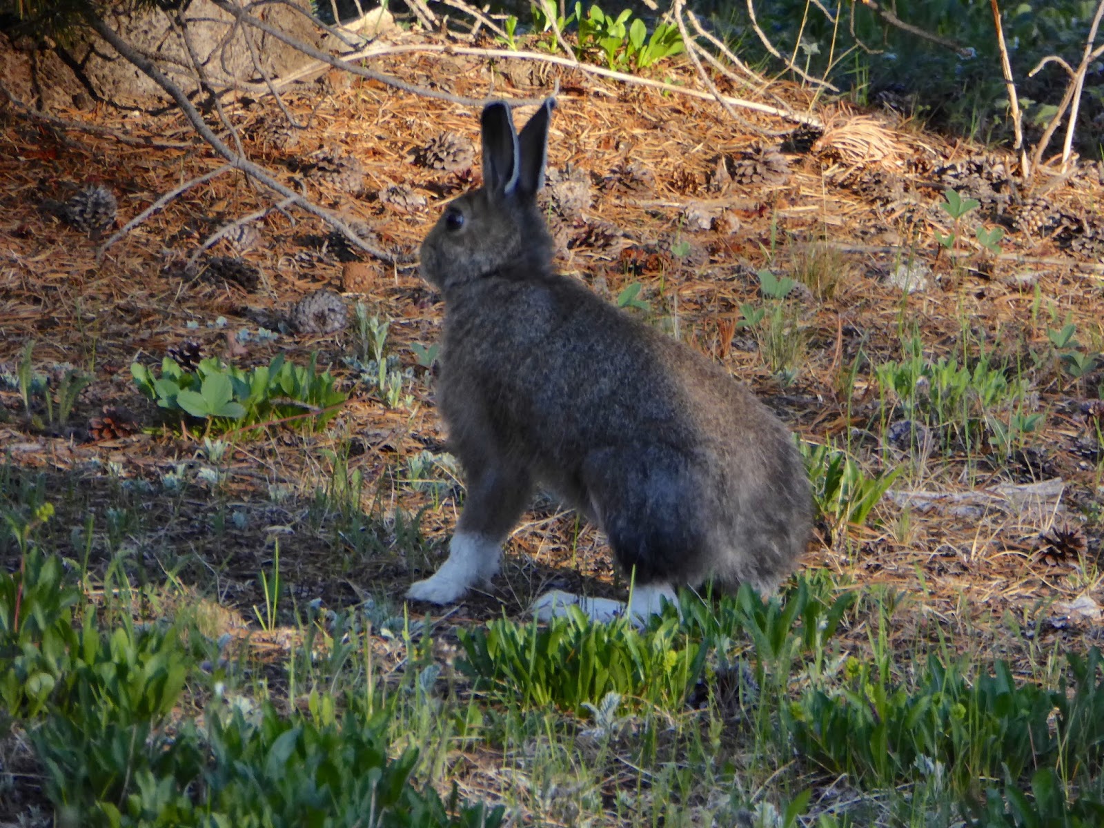
We're always on the lookout for these.


How the hell do these things wind up trail side?

Our on line recommended, in the "Top 10 Wildflower Hikes in Colorado" is the East Inlet from the east end of Grand Lake...great trail.


Fine waterfall on East Inlet Creek

But, no wildflowers, lots of dead trees and hoards of hikers in the 1st mile.

The next day we hike the Doe Creek Trail.  Only 1 car in the parking lot.  From Minnesota and we meet them on the trail.  And, plenty of wildflowers.


Dead trees everywhere in this part of Colorado.  Here they've cut down most of the dead ones.  Probably fire prevention.  A lot of work when you think about dragging around a chain saw and cutting a fairly dense stand of trees.
We avoid crowds in Rocky Mountain National Park by taking this little used trail.
"Emergency conditions" appear to be just lack of maintenance.

OK, ok......

Come to mama, my little sweethearts

Not sure how much this big boy is getting paid but he's doing his job at the top of Trail Ridge Road.

Start of fire north of Nederland on our way back to CS.


Monday, July 18, 2016

Turquoise Lake/Leadville 6/19 - 6/21/16

Turquoise Lake

Small camp site at the north end of the reservoir.  As usual, for us, no electric and vault outhouses.
A view across the lake to the high mountains and the beautiful alpine village of...no, wait, that's Leadville.


The combination of the Lake Fork, Busk Creek and the discharge from the Homestake Tunnel that brings water from the western slope creates an impressive inlet.
Side creeks are running high

Right out of camp, the north side lake trail seems to be seldom used and has some great stream crossings

Evidence of mining is common along the shoreline

And, even below the shoreline
One the other side of the inlet from the active water tunnel this seems to be a capped one.  Got a lot of bolts there.
This snowshoe hare's territory coincided with our campground.
Even though the temp was 80F at the campground I'm happy to encounter snow on my ride around the lake.

But, later we're inconvenienced by snow on our attempted hike off the road to Hayden Pass

Love these weathered "old" trail signs.
On our last day we ride the Mineral Belt Trail that tours the mining district east of Leadville and is paved and well maintained.


Scenic
And, user friendly.


Monday, July 11, 2016

Wyoming 5/25 - 5/31/16


It's a day long drive from C.S. to Afton.  Fortunately, halfway along, Penny's Diner exists in Rawlins.

Afton, in the Star Valley of northwestern WY, is surrounded by green fields, rolling hills and wildflowers.


We're staying with friends in their ancestral cottage on the eastern edge of town.
Definitely Mormon ancestral
It's the height of fruit tree blooming.  The low hum of happy bees is easily heard when sitting in the yard.

Even though this is a "working" vacation we take time
we take time to hike to the Intermittent Spring, a kind of rugged, little couloir and the source of Afton drinking water

and take a hike along the west shore of Jenny Lake in the Tetons
That is Grand Teton National Park    


Or when life gives you dandelions--make pancakes


Vedauwoo Recreation Area, southern WY

After a long drive across arid, high plains and the much anticipated lunch stop at Penny's this rocky but wet oasis makes a stop before the descent into the Front Range
A 2.75 mile, creek-side and forested trail leads one around the main formation of Turtle Rock
                        

Smaller formation
At the end of May this just might be the Pasque Flower capitol of WY